Cartes There are 68 products.
In stock
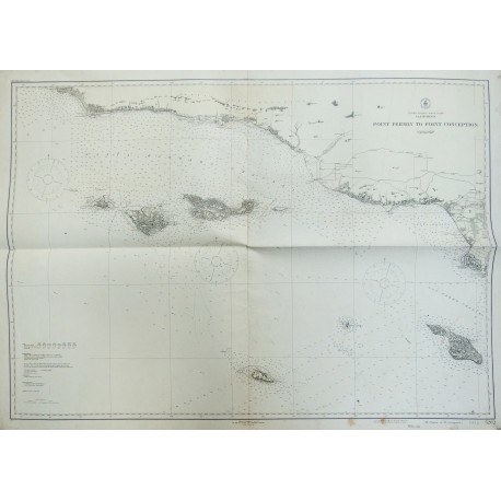
Carte Maritime «California-Point Fermin to point Conception 1926» 85x118 cm
In stock
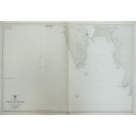
Carte Maritime «Golfo di Palmas - Sardinia 1938» 71x104 cm
In stock
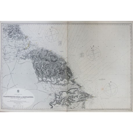
Carte Maritime «Flamborough Head to Hartlepool - England (1891-1901) 1915» 68x100 cm
In stock
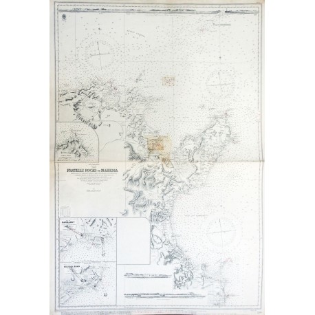
Carte Maritime «Fratelli Rocks to Mahedia - Tunis (1882) 1952» 103x70 cm
In stock
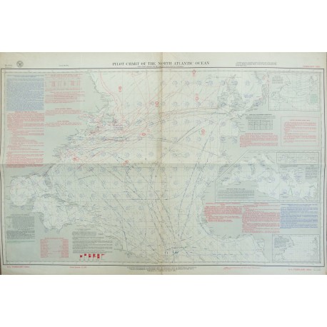
Carte Maritime «Pilot Chart of the North Atlantic Ocean 1950» 66x96 cm
In stock
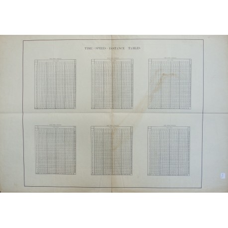
Carte Maritime «Time-speed-distance tables»
In stock
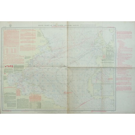
Carte Maritime «Pilot Chart of the North Atlantic Ocean 1932» 66x96 cm
In stock
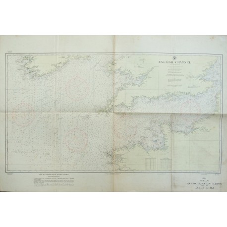
Carte Maritime «English Channel - La Manche»
In stock
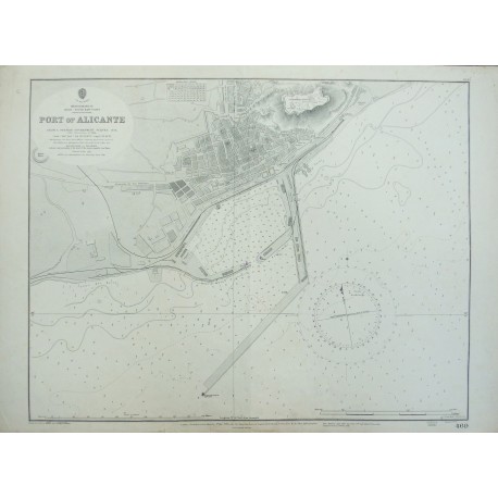
Carte Maritime «Port of Alicante - Spain 1934» 51x70 cm
In stock
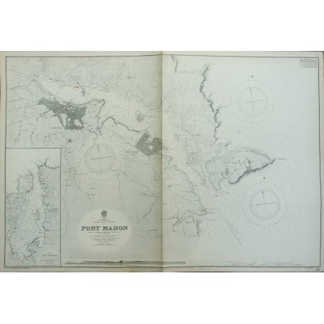
Carte Maritime «Port Mahon - Balearic Islands - Minorca 1936» 70x102 cm
In stock
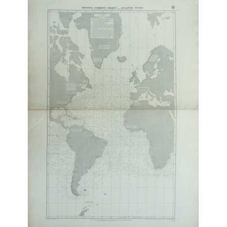
Carte Maritime «Monthly current charts-Atlantic Ocean 1897» 104x70 cm
In stock
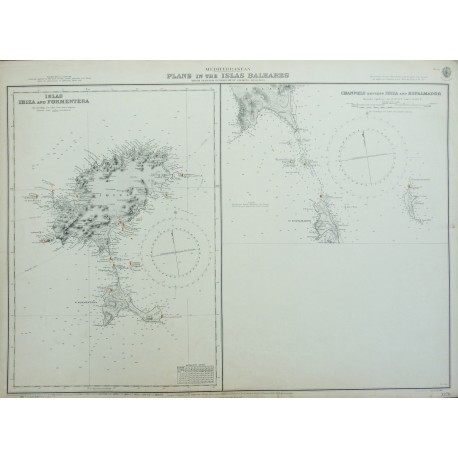
Carte Maritime «Plans in the Islas Baleares 1898-1900» 51x70 cm
In stock
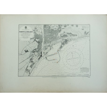
Carte Mariti me «Puerto de Malaga (1872) 1912» 52x70 cm
In stock
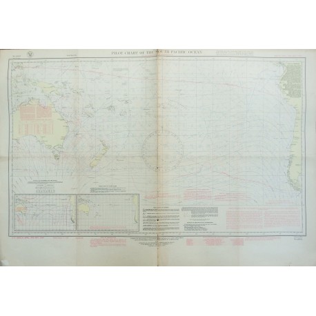
Carte Maritime «Pilot Chart of the South Atlantic Ocean 1934» 66x96 cm
In stock
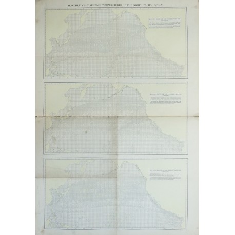
Carte Maritime «Monthly mean surface temperatures of the North Pacific Ocean»
In stock
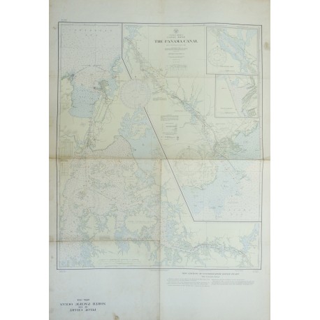
Carte Maritime «The Panama Canal 1933» 97x67 cm
In stock
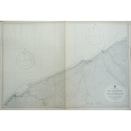
Carte Maritime «Cap de Fédala to Cap de Mazagan 1955» 70x102 cm
In stock
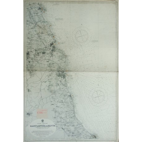
Carte Maritime «Hartlepool to Blyth - England 1917» 102x69 cm
In stock
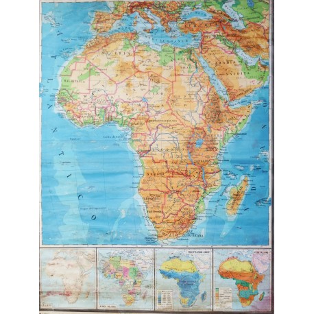
Carte geographique de l’Afrique 1950/60 130x160 cm
In stock
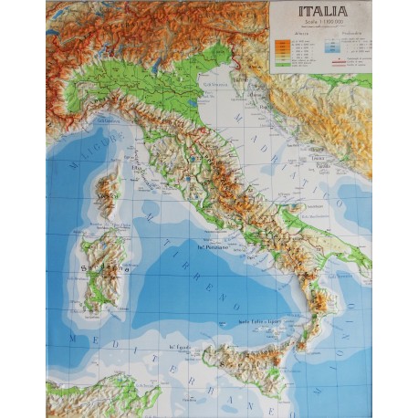
Carte geographique de l’Italie en relief 140x90 cm
A été ajouté pour comparer
A été supprimé de comparer